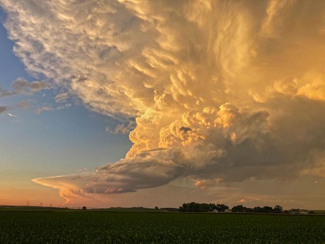
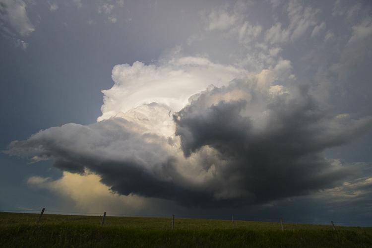
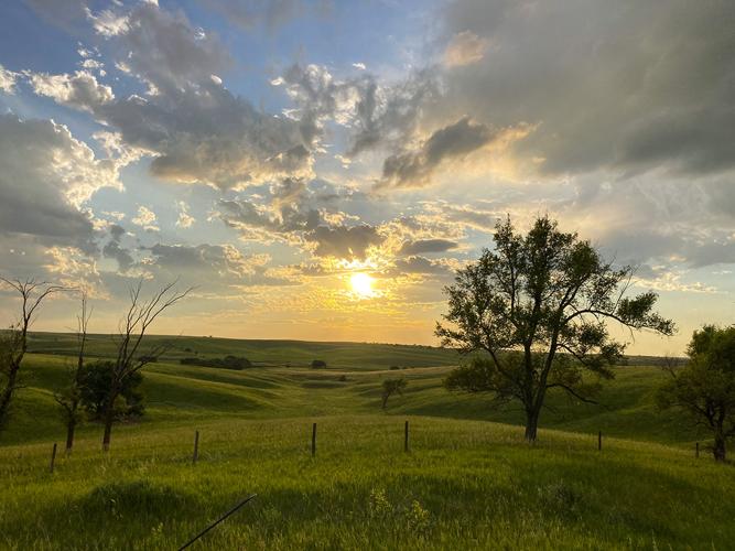
The supercell in its low precipitation state during sunset, viewed from southwest Buffalo County. In a day full of stunning storm structure, the sky saved the best for last.
C-H photo • Brian Neben
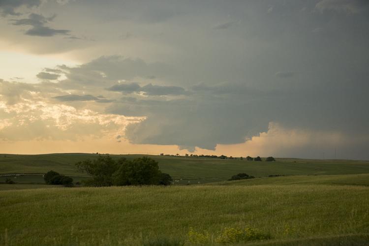
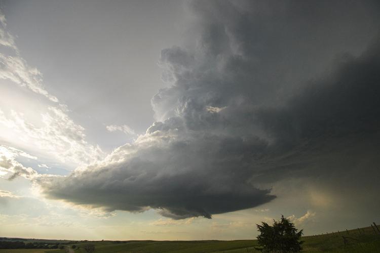
This way my view of the storm's base as I headed north toward Miller. While the storm had lost its tornado warning, there was still clear structure to this storm worth chasing.
C-H photo • Brian Neben
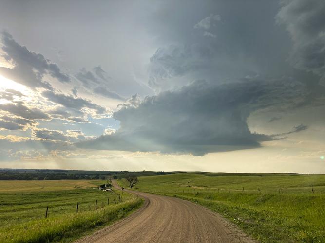
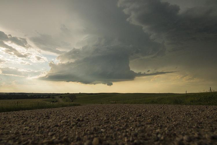
The storm as seen north of Eddyville. The combination of the landscape and the storm structure made this one of the most photogenic chases I have ever been on.
C-H photo • Brian Neben
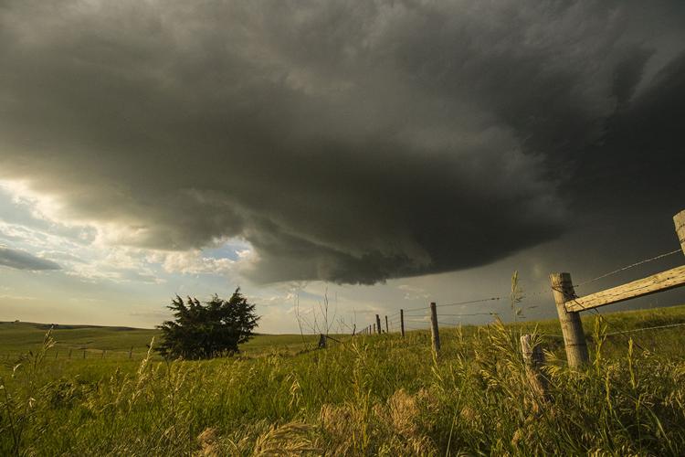
The wall cloud on the bottom of the supercell reforms as a straight tail of warm inflow feeds into the storm's base.
C-H photo • Brian Neben
A view of the storm a prairie dog might have.
C-H photo • Brian Neben
As the storm's base bowed out once again, the turning and twisting motion among the clouds in mesocyclone was apparent from this close proximity.
C-H photo • Brian Neben
The base of the supercell as it passed close to my north.
C-H photo • Brian Neben
I had never viewed a supercell from this angle and it was amazing to see the rear flank downdraft of the storm wrapping around the main updraft.
C-H photo • Brian Neben
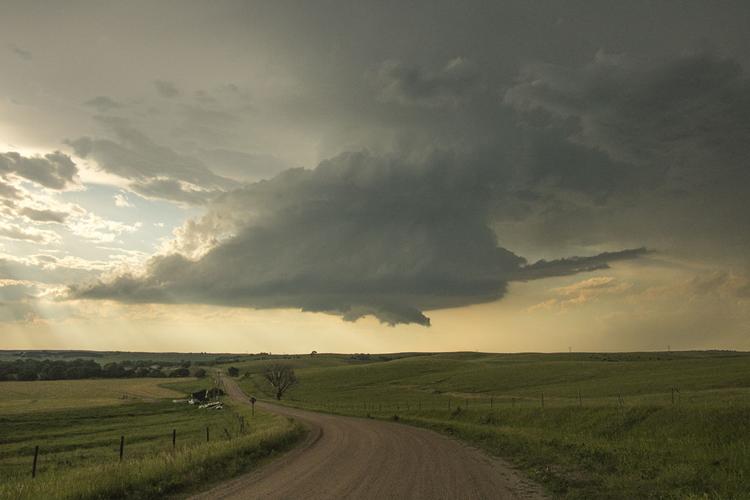
The sight south of Miller which made me pull over to capture it.
The supercell in its low precipitation state during sunset, viewed from southwest Buffalo County. In a day full of stunning storm structure, the sky saved the best for last.
This way my view of the storm's base as I headed north toward Miller. While the storm had lost its tornado warning, there was still clear structure to this storm worth chasing.
The storm as seen north of Eddyville. The combination of the landscape and the storm structure made this one of the most photogenic chases I have ever been on.