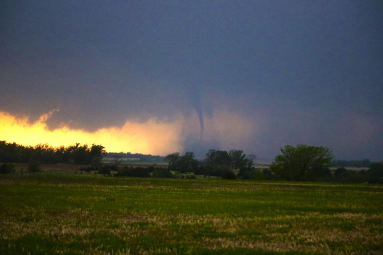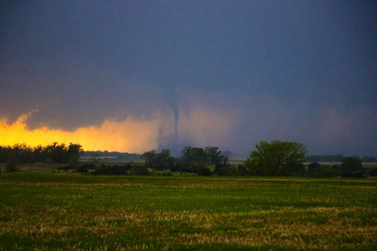


The Farnam EF-1 tornado near the end of it's life and the first tornado I have witnessed since 2003. This has been my proudest moment as a storm chaser.
People are also reading…

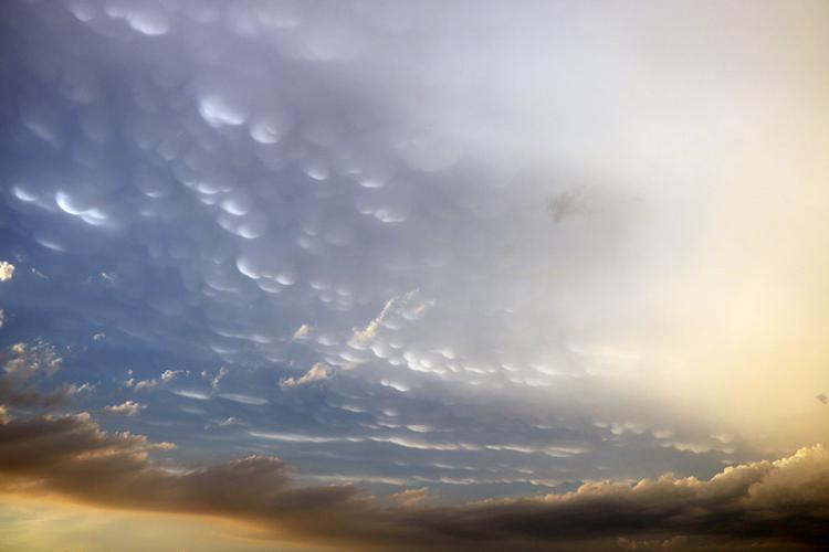
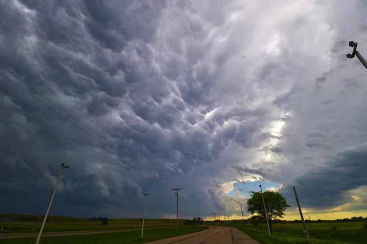
Mammatus clouds on the underside of a cloud anvil on June 1, 2018 north of Oconto.

I had put myself in a dangerous position in an attempt to view a tornado near Oxford. I made sure this season to never be in this position again.

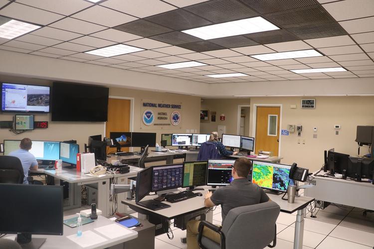
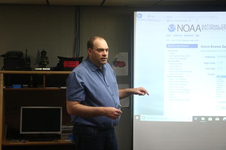
The National Weather Service Hastings office, Aaron Mangels sits in the foreground. He was gracious enough to speak with me about the 2018 tornado season and give me a quick lesson on shortwave troughs.

NWS Hastings meteorologist Ryan Pfannkuch gives the severe weather spotter training to Gosper County in early April.

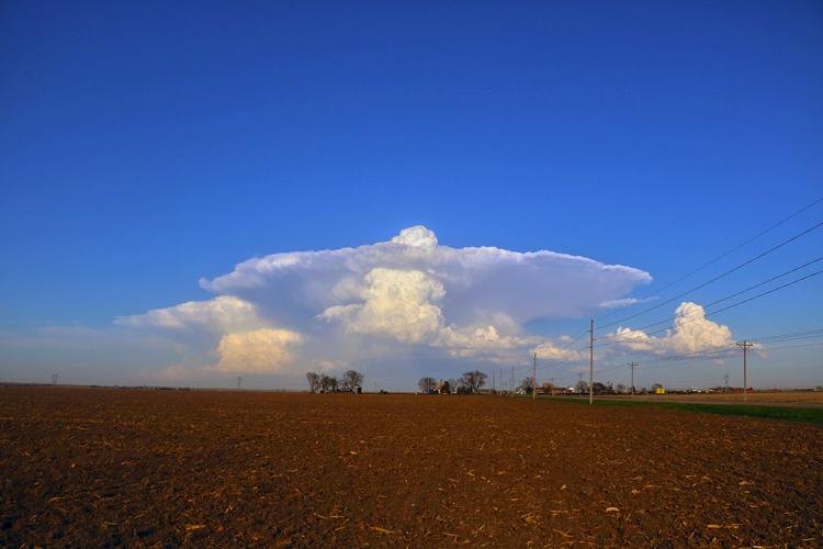
This thunderstorm is showing an overshooting top, indicative of a powerful updraft, but it didn't last long. It was a good way to start my weather season, with a storm just out my front door in Lexington.

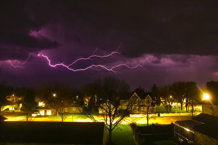
My single best photo of lightning from 2019, I had been trying for 10 minutes to get a bolt in shot and had just finished complaining how difficult it was when I got this shot.

A panoramic shot from May 5 of a storm complex over south central Nebraska.

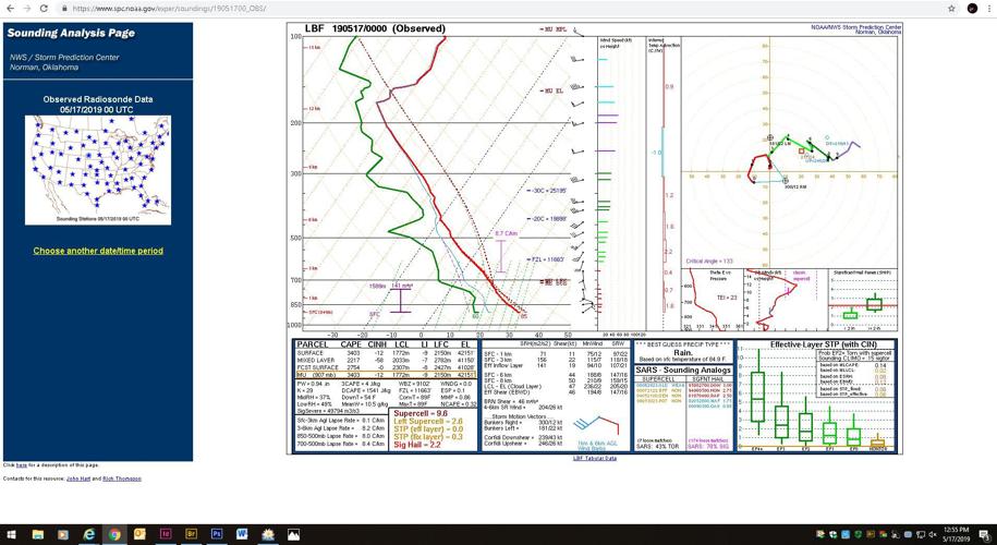
A sounding from the NWS North Platte during the afternoon of May 17. The green represents the dewpoint, the red line, the temperature and the dotted line is an imagined parcel temperature. The space between the dotted and red line is known as convective available potential energy, CAPE. This sounding shows a very unstable atmosphere.

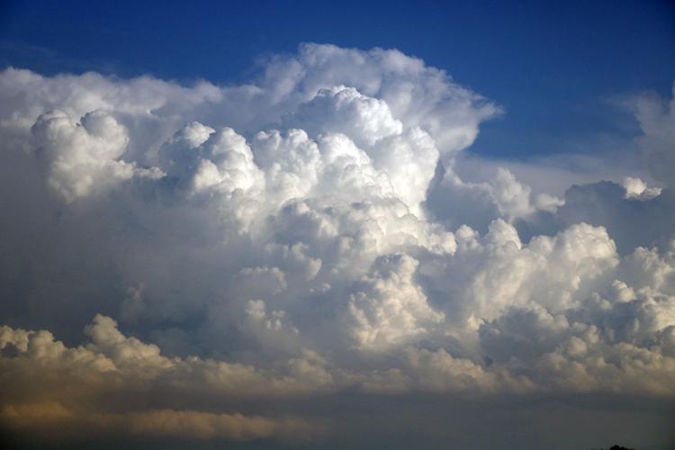
Cumulonimbus clouds like this are a common site during summer afternoons as storms initiate.

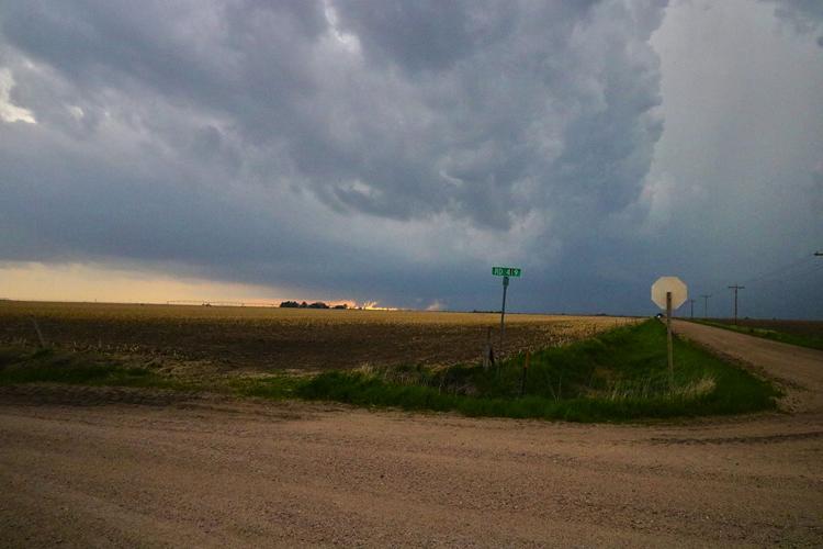
My view of clouds near Eddyville on May 17, I should have been changing course and moving on the supercell moving up out of Kansas.

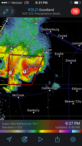
The radar update which sent me flying out the door to catch up with the supercell, it was going to track into Dawson County.

My view of the supercells rain free base several miles to the east, the anticipation was growing, I knew there had to be something lurking in the rain.

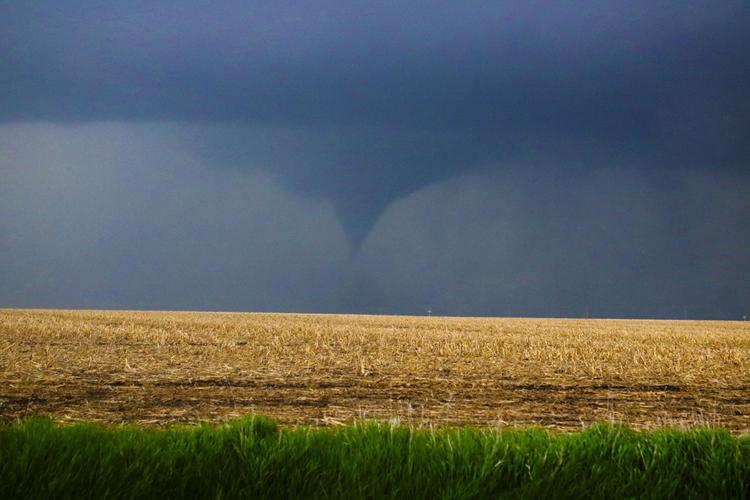
This is my first picture of a tornado from my storm chasing, I could hardly believe it at the moment. There was something to the way the funnel snaked around in the air, it gave it an unearthly feeling. Yet I was so excited when I called it in to 911 operator she probably thought I was hysterical.

The storm kept on producing funnels and tornadoes, I was much closer to this than the Farnam EF-1, I kept shadowing the storm as it moved north.

A closer view of what I suspect was an EF-0 tornado. I couldn't see it over the ridge, but a video camera from Camp Comeca caught a debris swirl under this funnel. I believe this was a tornado whose funnel was not fully condensed. It was not surveyed by the NWS Hastings officially as a tornado, but the video image seems to indicate it was.

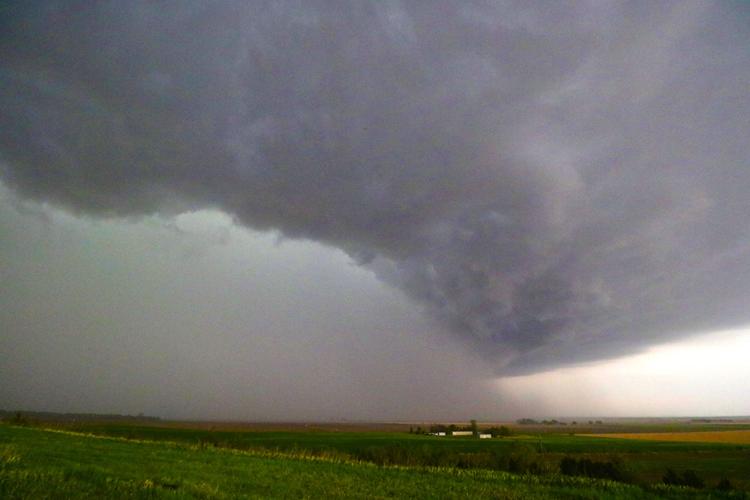
Classic, "mothership" supercell structure as storm chasers have called this. The supercell was entering the Platte River valley and was closing in on Cozad.

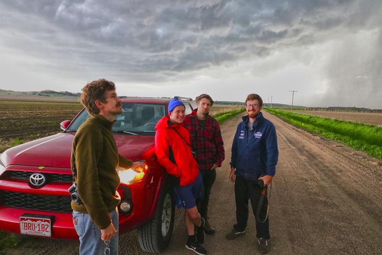
I had just witnessed a tornado and yet these four men's accents might have surprised me the most. They had come all the way from London to view tornadoes in the Great Plains. There was heavy chaser traffic in the area around Cozad, everyone wanted a piece of the storm.

Storm reports from May 17, 2019. The red dots are tornado reports, the path of the supercell through Nebraska is clear.

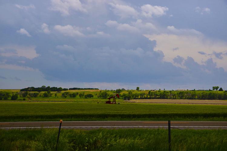
The oil well in the foreground of the storm base west of Culbertson made me feel like I was chasing in Oklahoma.

The cell to my south was finally starting to move in on my position as the anvil was directly overhead.

This view was my que to leave my position and begin heading east. The storm from the south was nearly on top of me and additional cells were popping up to the north, a line of thunderstorms was about to take shape.

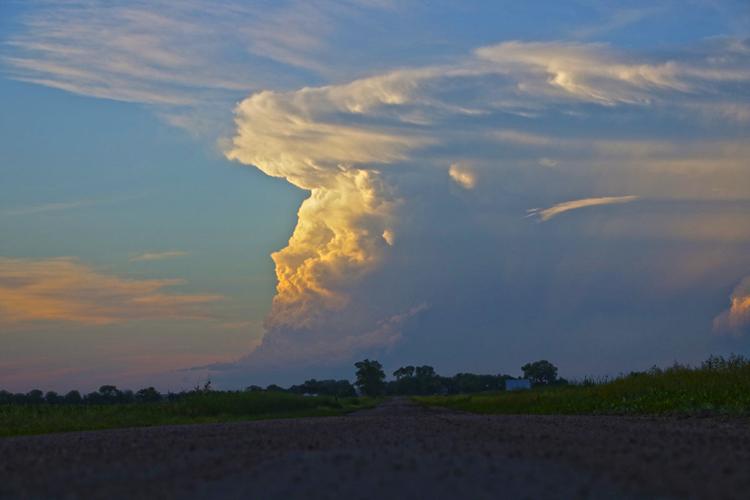
To get this photo with the gravel in shot, I was literally laying in the middle of some county road north of Lexington.

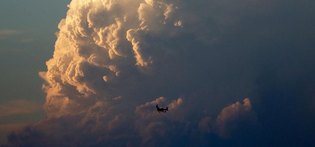
I almost mistook it for a bird at first. I managed to get the camera up and get one of my favorite shots of this Ag Cat in front of the thunderhead.

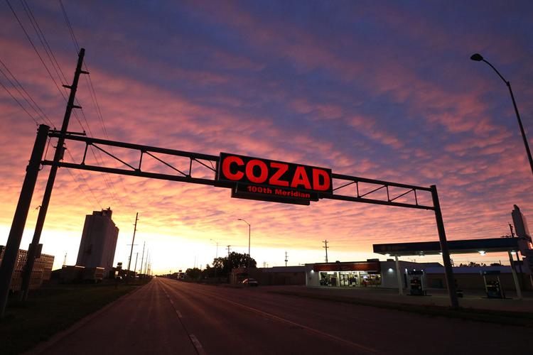
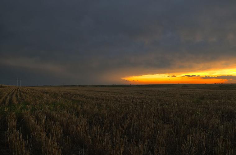
Another one of my favorite shots. Cozad had been impacted by high winds several days prior, I thought this sunset helped make up for it.

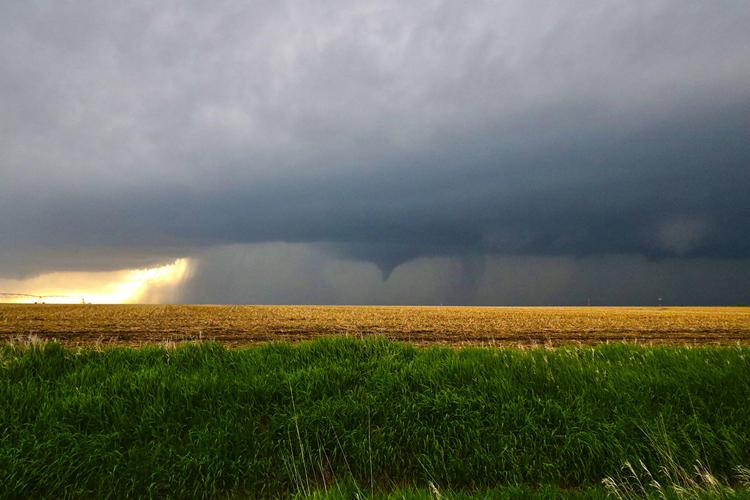
My view of the rain free base through the forward flank's rain, I had missed the three tornadoes by about 15 minutes.

The fruits of my two hour mad charge, a picturesque supercell over a field, and an idiot photographer looking at it. Can't think of anything more Nebraskan.

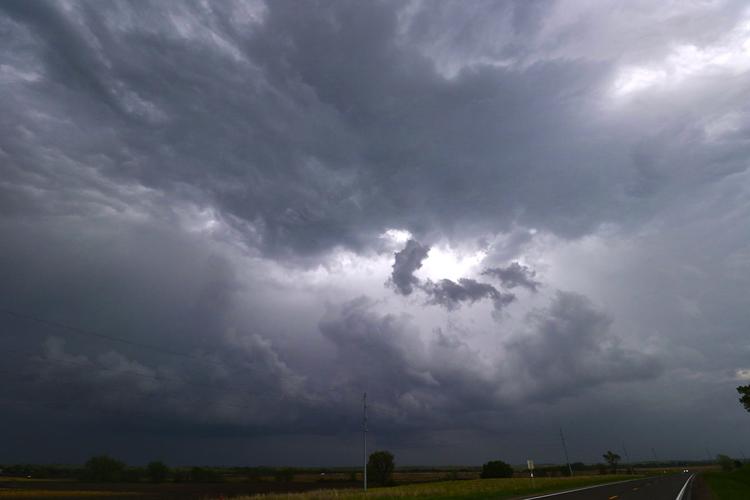
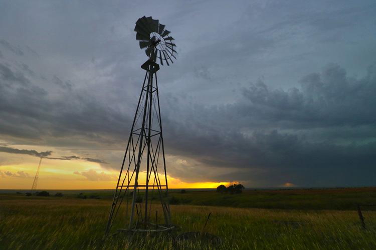
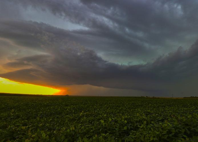
Severe weather rolls into Kansas as the sunsets in rural Gosper County.