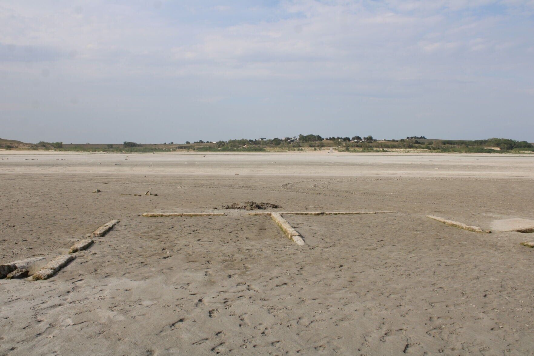
This foundation remnant from the original 1911 Lemoyne town site points toward the Lake McConaughy shoreline settlement’s post-1941 location on bluffs two miles north at the edge of the North Platte River valley in Keith County. The “Old Lemoyne” ruins have re-emerged from the shrinking lake for just the third time in the 85 years since the completion of Kingsley Dam.
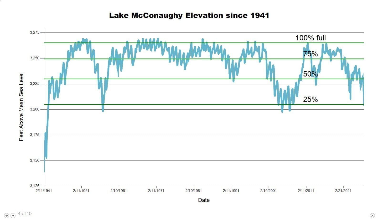
This table from the Central Nebraska Public Power and Irrigation District website depicts Lake McConaughy’s water levels since Kingsley Dam was completed in 1941. The “100% full” line represents the 3,265-foot elevation that has been the general federally imposed limit since a May 1, 1972, windstorm seriously damaged the dam face. Storage levels can be as high as 3,270 feet at certain times of year or with special permission from the Federal Energy Regulatory Commission.
CENTRAL NEBRASKA PUBLIC POWER AND IRRIGATION DISTRICT
This foundation remnant from the original 1911 Lemoyne town site points toward the Lake McConaughy shoreline settlement’s post-1941 location on bluffs two miles north at the edge of the North Platte River valley in Keith County. The “Old Lemoyne” ruins have re-emerged from the shrinking lake for just the third time in the 85 years since the completion of Kingsley Dam.
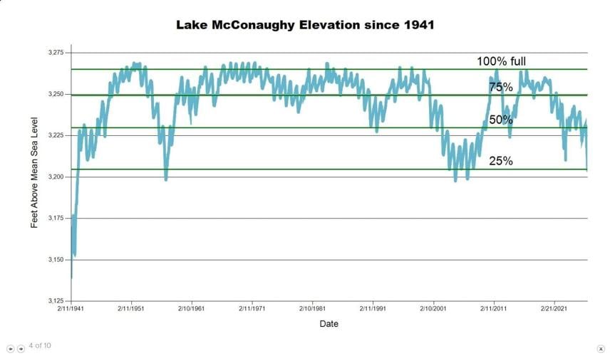
This table from the Central Nebraska Public Power and Irrigation District website depicts Lake McConaughy’s water levels since Kingsley Dam was completed in 1941. The “100% full” line represents the 3,265-foot elevation that has been the general federally imposed limit since a May 1, 1972, windstorm seriously damaged the dam face. Storage levels can be as high as 3,270 feet at certain times of year or with special permission from the Federal Energy Regulatory Commission.
CENTRAL NEBRASKA PUBLIC POWER AND IRRIGATION DISTRICT