

2020 has been a godforsaken year in many ways for nearly everyone, the COVID-19 pandemic has been putting the screws on since the spring. Even the weather was different, from a record setting 2019 storm season, to an eerily quiet 2020 tornado and severe weather drought.
People are also reading…

The first tornado I witnessed as a storm chaser on May 5, 2019. This was the culmination of a lot of work and research and I wondered if I could keep streak going in 2020.

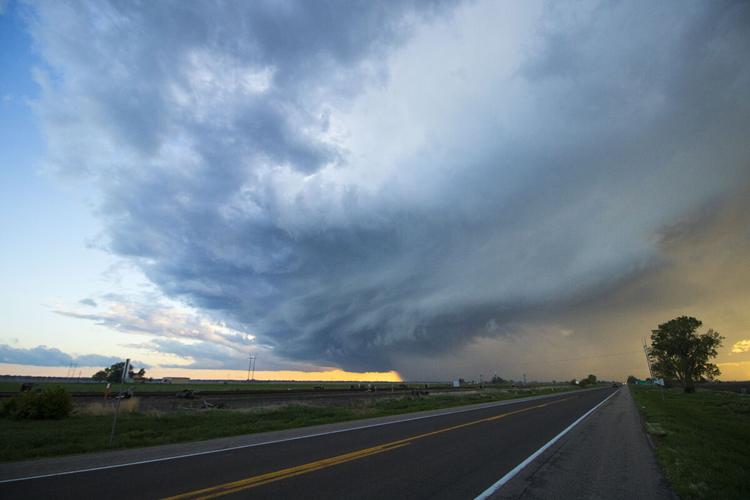
My "view" of the thunderstorm near Funk. The low cloud deck was a constant problem during this chase and ruined my visibility.

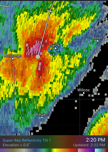
The radar view of the storm I was tracking near Funk.

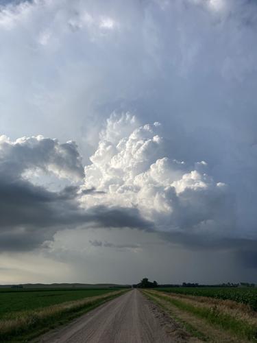
After not storm chasing since March, I was photographing any storm I could. This non-severe thunderstorm near Elm Creek still showed off some decent structure however.

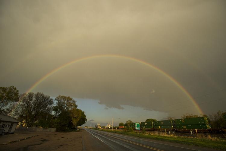
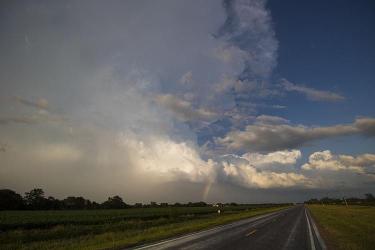
The double rainbow viewed from Odessa.

My fear of a strong cap was realized as the updraft of these fledgling storms were cut off and died.

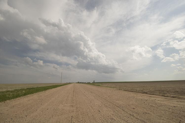
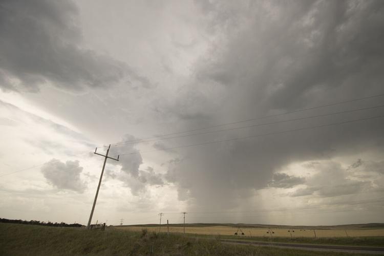
My view of the thunderstorms somewhere in northwestern Kansas. This was my first time chasing on the High Plains.

My view of the base of the LP supercell near St. Francis, Kan. This was also my first time witnessing an LP supercell in the wild.

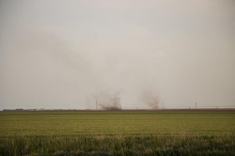
While not true tornadoes, I had never seen gustnadoes before and I got something out of my Tri-State bust after all.

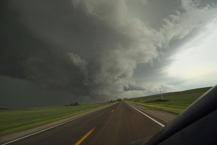
My view of the severe warned thunderstorm north of North Platte. As it turned out my forecasting had been right about the track of storms in Nebraska, but I didn't feel great about it given how my first setup of the day was so wrong.

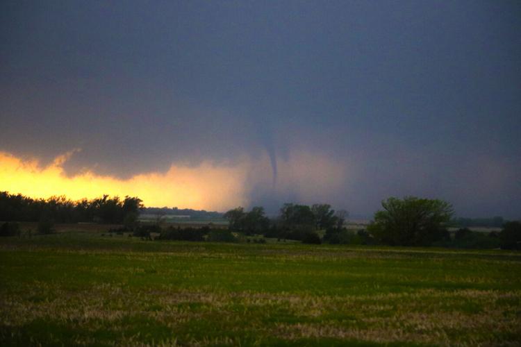
My view of the tornado warned supercell in Lincoln County on June 8. I believe I even caught the spin up of the brief EF-U tornado this storm produced.

The brief EF-U tornado the supercell produced. While extremely short lived, I counted myself lucky I was able to witness a tornado for a second year in a row, especially in a severe weather drought year like 2020.

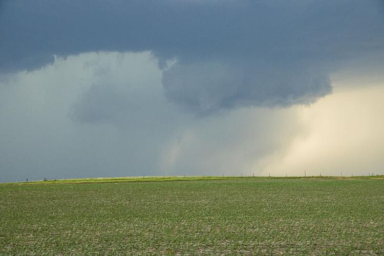
While ominous looking, this cloud is not a tornado, but just scud. These clouds fool the public and storm chasers alike, but the real tell is if the feature itself is rotating, not just moving from side to side.

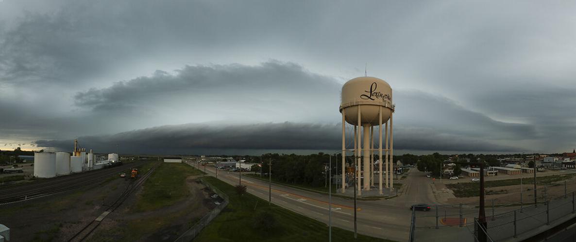
This will likely be one of the best storm chasing photos I will ever take. It took a little bit of luck and some poor decision making, but in the end the result speaks for itself.

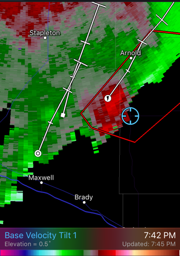
My position relative to the tornado producing supercell. I had the radar set to read the base velocity of the winds, green is moving toward the radar, red, away from it. If green and red are touching, that is a clear indication of rotation and I was right under it.

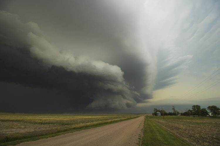
The RFD gust front of the supercell rolled across the valley floor as I paused to get more video, I couldn't stay long.

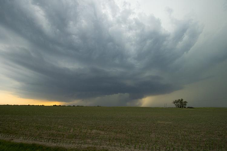
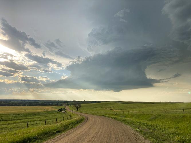
This might have been one of the most photogenic chases of the year. The green of the Wood River valley, the sunlight and the supercell all came together perfectly.

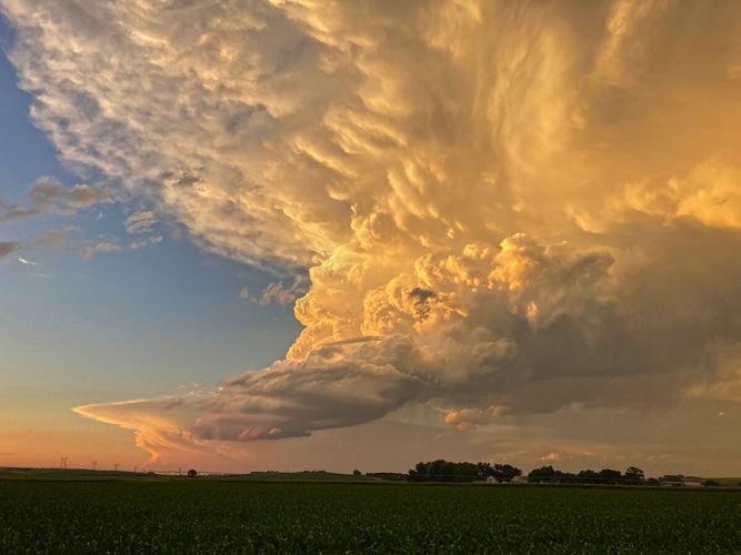
The light striking the dying LP supercell near Odessa was sublime.

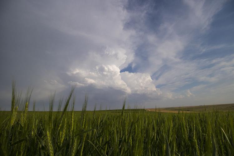
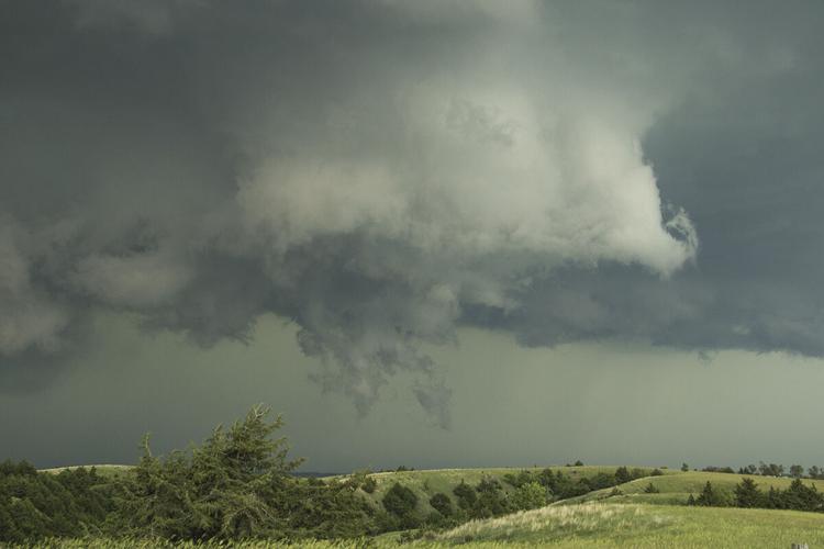
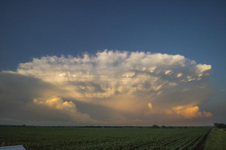
My view of the updraft of the thunderstorm near Sumner.

Pausing at the intersection of Highway 40, the view east toward Sumner was stunning.