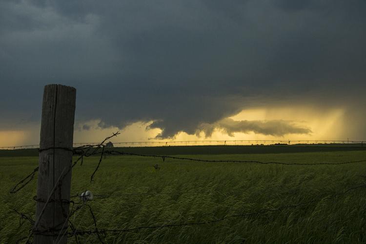
The wall cloud and inflow tail of the tornado producing supercell as it neared Arnold during the evening of June 8, 2020. Three tornadoes were reported in Custer County.
C-H photo • Brian Neben
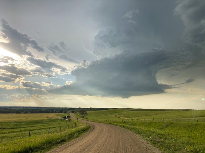
A low precipitation supercell with a small wall cloud north of Eddyville on June 20, 2020. Make reports of storm structure to NWS offices.
C-H photo • Brian Neben
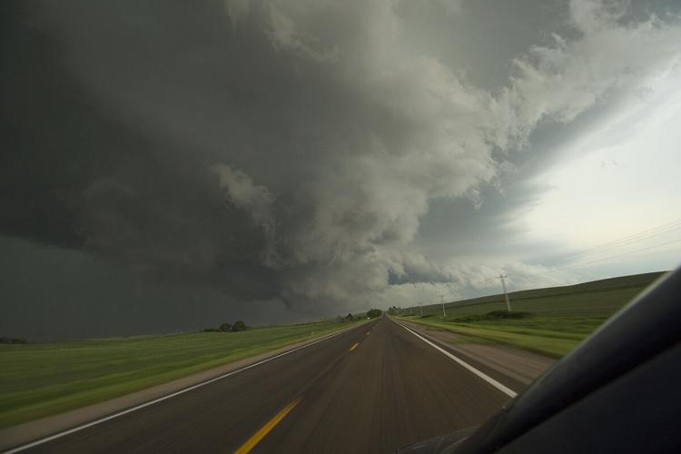
A tornado producing supercell in Lincoln County, 12 miles north of Maxwell on June 8, 2020. The tornado was brief and weak, rated EF-U as it was not surveyed due to lack of damage.
C-H photo • Brian Neben
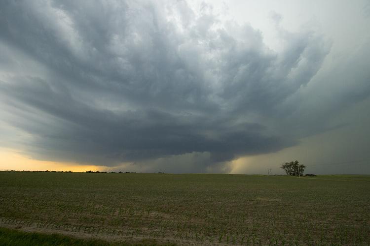
A wall cloud and inflow tail beginning to take shape on a developing supercell on June 8. A rotating wall cloud is the indication of a rotating updraft, tornadoes can form around this feature.
C-H photo • Brian Neben
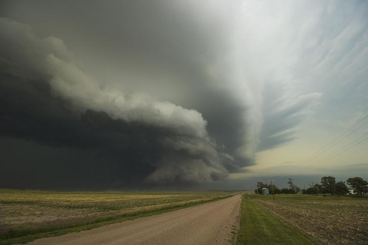
The rear flank gust front and wall cloud of a supercell as it approached Callaway on June 8, a brief funnel was sighted moments later.
LEXINGTON — The 2020 tornado season wasn’t just quiet across south central Nebraska, it was a down year across the entire country for all types of severe weather.
The wall cloud and inflow tail of the tornado producing supercell as it neared Arnold during the evening of June 8, 2020. Three tornadoes were reported in Custer County.
A tornado producing supercell in Lincoln County, 12 miles north of Maxwell on June 8, 2020. The tornado was brief and weak, rated EF-U as it was not surveyed due to lack of damage.
A wall cloud and inflow tail beginning to take shape on a developing supercell on June 8. A rotating wall cloud is the indication of a rotating updraft, tornadoes can form around this feature.